


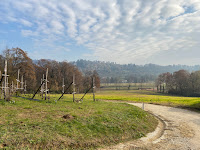
Scenes from some of the Bergamo hikes described below.
Overview
For something more than a walk, i.e., a hike, that takes you to nearby peaks and again still starting and ending in Bergamo, try:
- A Classic Bergamo Hike: Canto Alto
- Bergamo to Canto Alto Hike
- Two Hikes in the Hills of Parco dei Colli di Bergamo
- Roundtrip Bergamo to Selvino on Foot, Cable Car, Bus, and Tram
Details
A rule of thumb to help you parse this list is to think of a walk as shorter with minimal altitude gain, and a hike as
longer with some altitude gain. Most of the walks and hikes listed start or stop from an inhabited area that can be
reached by walking or public transportation. It could be Bergamo itself, a town nearby, or a small town in one of the
two nearby valleys, Val Brembana or Val Seriana.
Many of the walks take in a mix of town and country in the Parco dei Colli di Bergamo. For these walks, country should be thought of as copses (small woods) in various states of management or abandonment. In these copses, you find many traces of past and present habitation such as old farmhouses, terraced hillsides, grottoes, memorials, and small churches. Many of these walks take you through one or more roccoli, which are an interesting and unique feature of this part of Lombardy. Roccoli are part garden, part sculpture, and were used in the past to capture migratory birds to eat. For more on roccoli, see the Albino to Bergamo walk post.
Some of the hikes are to a rifugio in the Parco delle Orobie Bergamasche, where you can reach higher altitudes, away from populated areas.
For walks and hikes that don't have a start or end point in Bergamo, here are options for transportation:
- Local buses can get you around Bergamo and the ATB Tram runs from Bergamo to Albino, up Val Seriana.
- To go beyond the periphery of Bergamo (city), see http://www.bergamotrasporti.it/.
- Note: While you can start with bergamotrasporti.it and play around a bit to see what works, it’s often easier to go directly to the individual bus schedule that serves the town you are interested in. For example, on bergamotrasporti.it, go to stampa orari linee (“print out schedules”), enter the town you are going to or coming from and get the full schedule. It will be more useful in the long run to understand the start and end of different bus lines.
- Or, work backwards: look on Google Maps, find a bus stop in the town, click and find out what lines serve that stop.
- Trenord can also be used to get to nearby towns.
- Rent a car. There are a few car rental agencies in Bergamo, but pickings are slim. We usually rent our cars at the Orio al Serio Airport. It's easy to get to the airport (15 min bus) and you have many rental choices there.
The list of hikes below are ones we've done and is by no means an exhaustive list. See the CAI Bergamo site for more comprehensive hike information. The CAI Bergamo geoportal map is a good way to get an overview of the trail system. Be aware that there are many local footpaths that may not be marked on that CAI maps. Maps from Google or Bing sometimes show major trails, but miss a lot of trails and footpaths. We've had good luck with the Maps.Me application. It is easy to use offline and uses OpenStreetMap data. The OpenStreetMap web site is useful for planning because it shows a surprising number of trails of all types.
The List of Hikes

Seven Days on the Sentiero delle Orobie – A Journey Through the Bergamo Alps
Start/End: Ardesio, Valle Seriana, Bergamo
Length: 90 km (over 6 days)
Transport: Bus or car
 Start: Albino
End: Pradalunga
Transport: tram

Start/End: Botta di Sedrina
Length: 11.5 km
Transport: Bus, car
Length: 11.5 km
Transport: Bus, car

Start/End: Bergamo or Monterosso
Length: 15.5 km
Length: 15.5 km
Start/End: Aviatico
Length: 6 km (roundtrip)
Transport: Car or bus/cable car.
Start/End: Bergamo, center
Length: 12.7 km (roundtrip)
Transport: Not needed or bus for part of it.
Start/End: Valzurio, Valle Seriana, Bergamo
Length: 14 km
Transport: Car
Transport: Car

Start/End: Bergamo (city center)
Length: 14 km
Transport: n/a, though you can take taxi to and from osteria
Length: 14 km
Transport: n/a, though you can take taxi to and from osteria

Start/End: Bergamo (anywhere)
Length: 31 km
Transport: can take a bus to/from several points along the way.

Start/End: Bergamo (anywhere)
Length: 26 km
Transport: can take a bus to/from Monte di Nese.

Start/End: Bergamo (anywhere)
Length: 11 km
Transport: can take a bus to/from.

Start/End: Bergamo (anywhere)
Length: 28.5 km
Transport: can take a bus to Poscante and do 1/2 the hike.

Start/End: Bergamo (anywhere)
Length: 28.5 km
Transport: can take a bus to Sedrino or all on foot.

Start/End: Bergamo (city center or upper city)
Length: 26 km
Transport: n/a or can take a bus to Burro and walk back

Start/End: Bergamo (anywhere)
Length: 13.5 km
Transport: n/a or any bus that goes along Via Biaoni like the 7 or 9
Start/End: Bergamo (anywhere)
Length: 14 km
Transport: n/a or 6 bus
Start/End: Bergamo (anywhere)
Length: 13 km
Transport: n/a - all on foot.
Start/End: Bergamo (anywhere)
Length: 13.5 km
Transport: n/a - all on foot.
Transport: n/a - all on foot.

Start/End: Bergamo (anywhere)
Length: 13.5 km (each)
Transport: n/a - all on foot.
Start/End: Bergamo
Length: 20 km
Transport: Bus, cable car, tram.
Start/End: Bergamo (anywhere)
Length: 20 km (if you walk it all and don't take a bus)
Transport: All on foot or partially on bus.
Start/End: Valgoglio, Italy
Length: 12.4 km
Transport: Car (bus is possible)

A Sunday Walk to Maresana
Start/End: Bergamo (Fontana del Delfino)
Length: 15 km
Transport: n/a - all on foot

A Hike to Rifugio Benigni
Start/End: Cusio, Alta Valle Brembana, Bergamo
Length: 12 km
Transport: Car, bus possible but difficult.

A Hike to Rifugio Tagliaferri via Val di Gleno
Start/End: Vilminore di Scalve, Val di Scalve, Bergamo
Length: 22.3 km
Transport: Car, bus possible but difficult.

A Hike to Rifugio Gherardi in Val Taleggio
Start/End: Pizzino, Val Taleggio
Length: 13,4 km
Transport: Car, bus possible.

Hike in Valcanale: Rifugio Branchino and Lago Branchino
Start/End: Valcanale, Contrada Babes
Length: 10 km
Transport: Car, bus possible Bergamo to Ardesio and then Ardesio to Valcanale.

A Short Hike to Cinque Laghi, Above Valgoglio
Start/End: Ristoro dei Cinque Laghi (above Valgoglio)
Length: 8 km
Transport: Car

Monte Farno, Pizzo Formico, Rifugio Parafulmine and Back
Start/End: Monte Farno
Length: 10.25 km
Transport: Car

A Hike from Clanezzo to Monte Ubione and Back
Start/End: Clanezzo
Length: 11 km
Transport: Bus, any Linea B to Piazza Brembana, San Pellegrino, Zogno
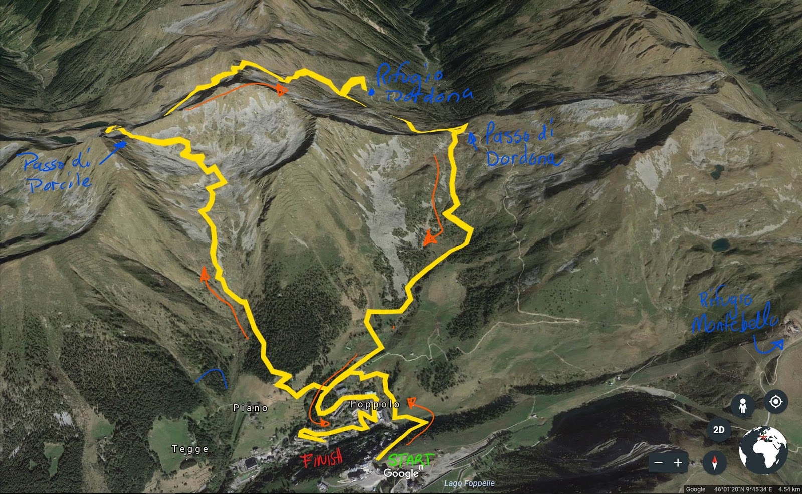
Hike: Passo Porcile and Rifugio Dordona from Foppolo
Start/End: Foppolo
Length: 12 km
Transport: Bus to Foppolo (Linea B to Piazza Brembana, then change)
Lunch: Rifugio Dordona

A Hike to Lago More above Foppolo
Start/End: Foppolo
Length: 11 km
Transport: Bus to Foppolo (Linea B to Piazza Brembana, then change)
Lunch: Rifugio Montebello, Terrazzo Salomon

A Hike from Passo Presolana to Rifugio Rino Olmo to Castione della Presolana
Start: Passo della Presolana (Cantoniera della Presolana)
End: Castione della Presolana
Length: 14 km
Transport: Bus to the pass (Linea S and Linea S70a)
Lunch: Rifugio Rino Olmo

A Hike from Clusone to Rifugio Parafulmine
Start: Clusone (Fiorine)
End: Colzate
Length: 19 km
Transport: Bus to Clusone
Lunch: Rifugio Parafulmine
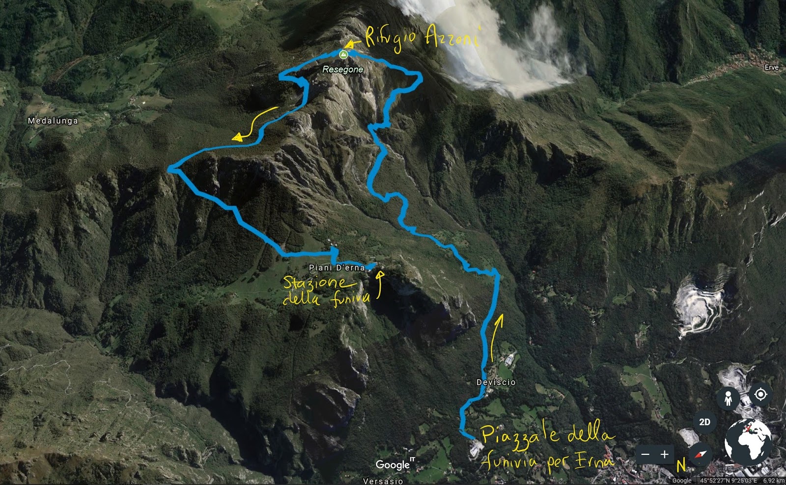
Hiking Resegone from Lecco
Start/End: funivia Piani d'Erna parking lot (above Lecco)
Length: 12 km
Transport: Train/bus/funivia
Lunch: Rifugio Azzoni

Maresana to Selvino
Start: Maresana (Trattoria parking lot)
End: Selvino
Length: 14 km
Transport: Bus/tram

Bergamo to Monte di Nese
Start: Piazzetta Delfino, Bergamo
End: Monte di Nese
Length: 14 km
Transport: Bus/tram back to Bergamo

Piazza Vecchia to Trattoria all'Alpino
Start/End: Piazza Vecchia
Lunch: Trattoria all'Alpino
Length: 6 km

Bruntino to Sorisole
Start: Bruntino or Villa D'Almé
End: Sorisole
Length: 12 km
Transport: #9 bus from Bergamo
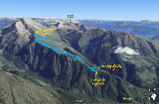
Capanna 2000
Start: Cattedrale Vegetale (Oltre Il Colle)
End: Cattedrale Vegetale
Length: 8 km
Transport: Car

Hike up Monte Torcola
Start: Piazza Brembana
End: Piazzatorre
Length: 12 km
Transport: Bus from Bergamo

Hike from San Pellegrino to Zogno
Start: San Pellegrino
End: Zogno
Length: 18 km
Transport: Bus from Bergamo
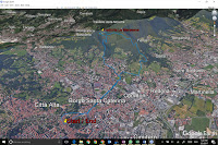
Walk from Bergamo to Maresana for Lunch
Start: Bergamo
End: Bergamo
Length: 12 km
Lunch: Trattoria La Maresana (Ponteranica)

Orio al Serio Airport to Bergamo
Start/End: Bergamo or Airport
Length: 4 km
Note: Included here but not recommended.
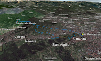
A Walk from Bergamo to Ponteranica
Start: Bergamo
End: Bergamo
Length: 4 km
Lunch: Trattoria del Moro (Ponteranica)
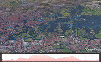
The Scalette of Bergamo – Take 2
Start: Bergamo
End: Bergamo
Length: 15,4 km
Lunch: Ristorante Pizzeria San Vigilio (Bergamo)

San Pellegrino Terme (Ruspino) and Bracca
Start: Ruspino, San Pellegrino
End: Ruspono, San Pellegrino
Length: 15,4 km
Lunch: Trattoria Dentella (Bracca)
Transport: Bus from Bergamo

Hike from Lovere to Rifugio Magnolini
Start: Lovere
End: Lovere
Length: 21 km
Lunch: Rifugio L. Magnolini (Costa Volpino)
Transport: Bus from Bergamo

A Walk from Albino to Bergamo via Monte Misma
Start: Albino
End: Bergamo
Length: 25,6 km
Transport: Tram to Albino
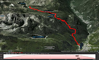
Hike: Carona to Rifugio Laghi Gemelli
Start: Carona
End: Carona
Length: 12,4 km
Lunch: Rifugio Laghi Gemelli (Branzi)
Transport: Ride from friends

Baite di Mezzeno to Rifugio Laghi Gemelli
Start: Baite di Mezzeno
End: Baite di Mezzeno
Length: 11,3 km
Lunch: Rifugio Laghi Gemelli (Branzi) Transport: Ride from friends
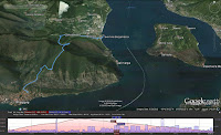
Lago Iseo, Predore Hike
Start: Predore
End: Tavernola Bergamasca
Length: 8 km
Lunch: Trattoria Il Porticciolo (Tavernola Bergamasca)
Transport: Bus to/from Bergamo

Hiking Below Pizzo della Presolana
Start: Passo della Presolana
End: Passo della Presolana
Length: 8,4 km
Lunch: Rifugio Cassinelli (Castione della Presolana) Transport: Ride from friends
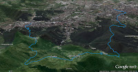
Nembro to Bergamo Hike
Start: Nembro
End: Bergamo
Length: 19,5 km
Transport: Tram to Nembro

A Walk to Monastero di Astino
Start: Bergamo
End: Bergamo
Length: 18 km
Refreshments: Bar Belevedere (Bergamo)
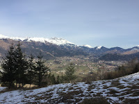
A Short Hike in Clusone
Start: Clusone
End: Clusone
Lunch: Rifugio San Lucio (Clusone)
Transport: Bus/tram to/from Clusone.

Almenno San Salvatore to Monte Linzone Hike
Start: Almenno San Salvatore
End: Almenno San Salvatore
Length: 18 km
Lunch: Ristorante Belvedere (Roncola)
Transport: Bus to/from Almenno San Salvatore.

Walking the Scalette of Bergamo
Start: Bergamo
End: Bergamo
Lunch: Trattoria La Colombina (Bergamo)
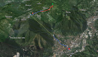
From Bergamo to Monte Poieto
Start: Selvino
End: Monte Poieto
Length: 5.5 km
Lunch: Rifugio Monte Poieto (Aviatico)
Transport: Tram to/from Albino, funivia to/from Selvino.

Colli di Bergamo Hike
Start: Bergamo
End: Bergamo
Length: 23 km

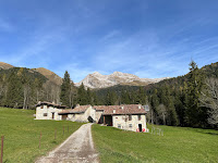
Bergamo to Canto Alto Hike
Start: Bergamo
End: Bergamo
Length: 23 km
Lunch: Antichi Sapori (Sorisole)






No comments:
Post a Comment
All comments are moderated. If your comment doesn't appear right away, it was likely accepted. Check back in a day if you asked a question.