Hike Notes
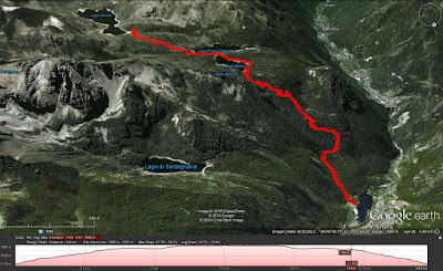
Length: 12.4 km (roundtrip)
Duration: 2.5 hours up and 2 hours down
Elevation: 900 m (2,953 ft) gain, Laghi Gemelli @ 1961 m (,6434 ft)
Location: Italy, Lombardy, Province of Bergamo, Alta Valle Brembana
Overview
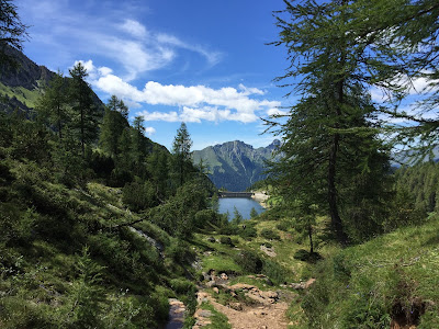
Sentiero 211 (CAI Bergamo site) is a well-marked and popular trail that reaches the popular Rifugio Laghi Gemelli from the north. In June, we approached from the south starting near Roncobello (see A Hike from Baite di Mezzeno to Rifugio Laghi Gemelli). This time around, the weather was better and the Rifugio was hopping. We still could easily find space for a nice lunch there. (Try the Polenta Pasticciata.)
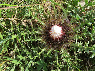
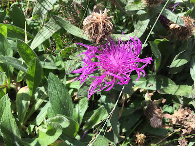
Left: Carlina. Right: Centaurea uniflora.
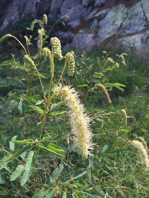
Left and center: Sanguisorba dodecandra Moretti near Lago Marcio. Right: Trail markers painted on a rock for Carona and Laghi Gemelli.


Left: South end of Lago Marcio at eye level, spillway. Right: Start of hike in Carona.


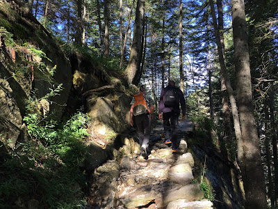
Left: View north through trees to Foppolo. Right: The start of the trail is through woods and is steep in some sections.

No comments:
Post a Comment
All comments are moderated. If your comment doesn't appear right away, it was likely accepted. Check back in a day if you asked a question.