
Hike Notes
Length: 21.1 km (13.1 miles)
Duration: 3:20 up, 2:15 down
Elevation: 1.743 m (5,719 feet) total elevation gain, max elevation 1.608 m (5,276 feet) @ rifugio L. Magnolini, starting elevation at Lovere 208 m (682 feet)
Location: Italy, Lombardia, Bergamo, Monte Bronzone Lago d’Iseo
Overview
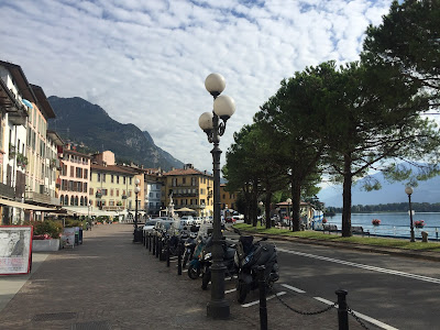
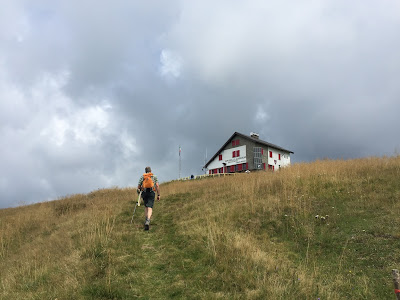
Another town-to-country-and-back walk, this time from Lovere, at the top of Lago d’Iseo, up to Rifugio L. Magnolini, and back down to Lovere. After last Sunday’s walk from Albino to Bergamo where we took a sack lunch, we were looking forward to a nice civilized rifugio lunch, and this hike fit the bill. The bus from Bergamo to Lovere took about 1 hour and roundtrip cost about 10 € a person. In Lovere, we followed sentiero 551 up to Locanda ai Ciar and then switched to sentiero 558 up to the rifugio. We followed 551 down from the rifugio back to Lovere. The first part of sentiero 551 goes from raw trail to cobblestone, and roughly paved roads. That said, we recorded a 14.8% average slope in the climb up and in some places it was up to 25%.
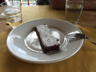
At Rifugio Magnolini, we ate a nice brasata e polenta and finished it with a torta al cioccolato.
Left: Start of the hike, Lovere on Lago d'Iseo. Right: Signage for trail 551 on a guardrail with Lago d'Iseo below.


Left: Trail 551 on the way to Rifugio Magnolini. Right: The approach to Rifugio Magnolini.


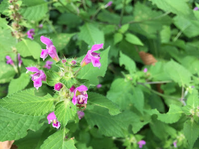
Some plants along the way to Rifugio Magnolini. Left: Astrantia major. Right: Eupatorium cannabinum.


Left: Salvia glutinosa. Right: Stachys.


Rifugio Magnolini lunch. Left: Brasata and polenta. Right: Chocolate cake.


Protected alpine plants sign at Rifugio Magnolini.

No comments:
Post a Comment
All comments are moderated. If your comment doesn't appear right away, it was likely accepted. Check back in a day if you asked a question.