Welcome to the 2015 Travelmarx Hiking Season. A Sunday morning 2 hour jaunt is our first hike of 2015. We were staying at Cave B Winery for a wedding and took a hike down to the Columbia River on Sunday morning. You can get a a map (see photo) at reception.
Hike Notes
Length: 2.75 miles (according to lines drawn on Google Maps)
Duration: < 2 hours (started around 7:10am, returned around 8:45 to 9:00am.
Elevation Gain: ~ 650 ft. Start at about 1,211 ft and end at about 574 ft at the river.
Location: Central Washington - Wenatchee
Trail Map: Columbia River Trail

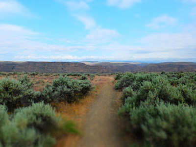
Left: Abandoned Car at Rocky Beach; Right: Trail Through the Sagebrush
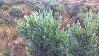
Left: Artemisia tridentata (sagebrush); Right: Linaria dalmatica

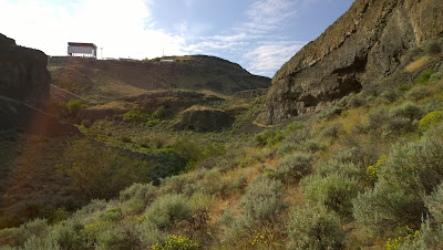
Left: Looking East Up the Waterfall Loop Trail; Right: The Back of the Gorge Amphitheater Stage

Left: Rock Layers on Waterfall Loop Trail; Right: Seeds

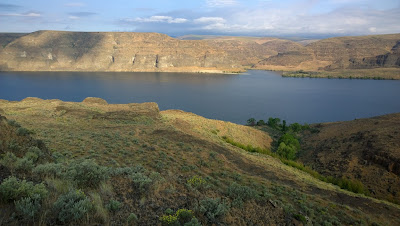
Left: View Toward Rocky Beach and Abandoned Car; Right: View West to Columbia River


No comments:
Post a Comment
All comments are moderated. If your comment doesn't appear right away, it was likely accepted. Check back in a day if you asked a question.