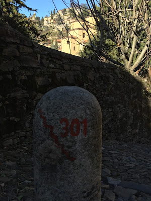


After yesterday’s gray day, today’s blue skies and clear air (finally) beckoned us to get out and walk. Destination: Monastero di Astino (Astino Abbey). The walk reminded us of two things. First, and yes, channeling that old saw, it’s about the journey and not the destination. The Abbey turned out to be closed. No matter, we thoroughly enjoyed just walking there. Second, we’ve been asking ourselves often these last few months – and are often asked – why Bergamo? This day and this walk reassures us why. (For more, see Perché Bergamo -Why Bergamo?)
We took a purposefully indirect route to sample some of the different Scalette di Bergamo. The scalette are scenic routes for tourists and useful shortcuts for locals getting around the hilly terrain of Bergamo and Cittá Alta. The scalette are sometimes stairs, sometimes paths. They can be cobblestoned, smooth, or like a hiking path. They are always intriguing.
To recreate our walk shown in the photos:
- start at the base of the Funicolare Cittá Alta (map)
- walk up Salitta delle Scaletta (map)
- enter the Città Alta at the Porta San Giacomo* (map)
- walk along the western walls passing through a number of ramparts (baluardi) and platforms (piattaformi)
- exit the Città Alta at the Porta San’Alessandro* (map)
- walk down the Scaletta Fontanabrolo
- walk up the Scaletta delle More (map)
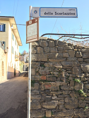
- walk up the Salita Scorlazzino (map)
- walk down Via Astino to the abbey.
The site Bergamasca.info (in Italian) describes the scalette in some detail, with a map showing where they are located. The scalette are referred to as sentieri in salita or “uphill trails.” In Google Maps, the scalette are usually denoted by a darker gray line and can easily be distinguished from a road. When in doubt, pop into street view and take a look around.
On our way down Scaletta Fontanabrolo, we decided to investigate a side path that was marked as having no exit. At the end, we met a gardener. Never shy on a chance to speak in Italian, we struck up a conversation about the vines he was pruning (Trachelospermum jasminoides – commonly known as falso gelsomino or false jasmine and rincospermo and Lonicera caprifolium - honeysuckle). He gave us some suggestions for gardens to see, and we learned he was also responsible for the ivy swan on Viale delle Mura (map).
A little later, as we summited the Salita Scorlazzino sweaty and out of breath, we stopped to admire an Iberis sempervirens growing out of a wall on Via Sudorno. Two ladies walking in the opposite direction stopped to look too, and we chatted about the this winter blooming plant’s benefits. The faint scent of the Iberis flowers stayed with us as we started on the last bit of walk to Astino.
After our scalette exploration and while sitting on the steps of the very closed Abbey, we plotted a course for lunch. Off we headed off to Trattoria La Colombina, one of our favorite places to eat, what else, polenta! We raised our glasses to journeys and the right choice.
Left: Agave grows on a wall near the top of the Scaletta delle More. Right: Iberis sempervirens (candytuft) grows on a wall on Via Sudorno.


Left: Persimmon tree on the Salita Scorlazzino. Right: Trachelospermum jasminoides – commonly known as falso gelsomino or false jasmine or rincospermo and Lonicera caprifolium – honeysuckle.


Look for these little brown signs, itinerario pedonale. Far and Center Left: Scaletta Fontanabrolo. Center Right: Scaletta delle More. Far Right: Salita Scorlazzino.


Far Left: The start of the walk on Salitta delle Scaletta. Center Left: Salitta delle Scaletta shown in Google Maps. Center Right: Orto Botanico – Astino, a bit out of season. Far Right: View of Bergamo Citta Alta walls from Via San’Alessandro.


Left: Monastero di Astino; Right: Salita Scorlazzino and the Tempio dei Caduti tower.


Interesting blog! I'm off to Bergamo next week. Can you please specify distance in kms from Citta' Alta to the Monastero? Thanks!
ReplyDeleteGoogle maps says about 2.8 km / 40 minutes one way following via Sudorno. Enjoy!
Delete