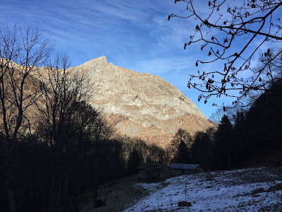

Left: Road near Vigna, driving into the Valle Pesio. Right: The Pis del Pesio is not pissing today. It is a seasonal waterfall, what did we expect?
Hike Notes
Length: 5 miles (8 km)Duration: About 2.5 hours.
Location: Italy, Piemonte, Province of Cuneo, Valle Pesio
Overview
On our previous trip to Piemonte in 2013, one of our hosts suggested a trip to Pis del Pesio. We didn't make it there, but the name stuck in my head and I was determined to see it this time even if it was the middle of winter. Well, sort of winter. It's been unusually warm here and very little snow, therefore when a free day came up during our Christmas visit to relative, we decided to take a look.We drove up to Rifugio Pian delle Gorre part of the Parco Marguareis (www.parcomarguareis.it).
For resources about hiking in this area, see the post Valle Ellero, Rastello to Cima Pigna Hike.


Left: Giro del Marguareis map. Right: Parco Naturale del Marguareis map.


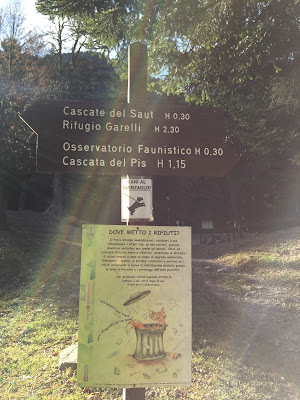
Left and Center: Signage for Cascata del Pis and the H10 trail. Right: Description Pis del Pesio.

Gias Fontana. "gias" comes from giaciglio, a place for animals in Occitan language the Dizionario escursionistico - alpinistico - valdostano.
No comments:
Post a Comment
All comments are moderated. If your comment doesn't appear right away, it was likely accepted. Check back in a day if you asked a question.